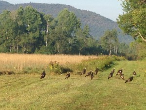
When I climbed Wright Peak a few weeks ago, I’d looked up at Algonquin in the distance and felt a little intimidated. It was tall. And I was already pretty tuckered out on its lower neighbor. But with a couple more climbs under my belt and a gorgeous, sunny day ahead, I decided to give Algonquin a try and go on to climb Iroquois, too, if I had time. I met these turkeys along Adirondack Loj Road.
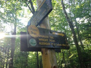
I parked at the Loj, signed the trail register, and started out at 8:40am. After almost a mile, the trail splits, with one branch going left toward Marcy Dam and the other turning right toward Wright Peak, Algonquin, and Iroquois. If you climb this way, you’ll be following the orange trail markers from this point.
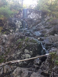
The trail is moderate at first and easy to follow. After another mile and a half, it gets steeper, and I could hear the pretty cascade known as MacIntyre Falls before I saw it.
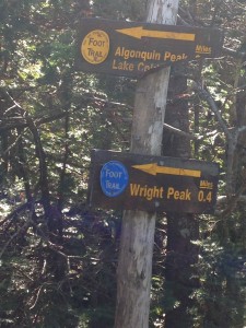
From the falls, it’s about another half mile to another split in the trail.
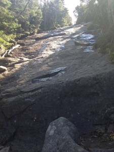
Last time I came this way, I turned left to ascend the trail up Wright Peak, but this time I took the path just to the right, heading up Algonquin. It’s a steep mile to Algonquin’s summit from here, including a slide steeper than any I’d climbed so far.
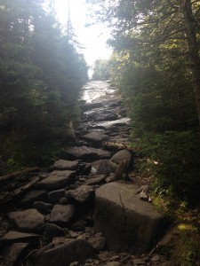
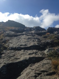
Here’s another shot looking up the slide. I was really hoping it would be nice and dry, since it hadn’t rained in days, but parts were still wet and a little slimy.
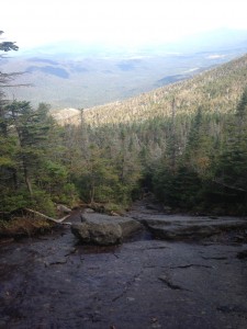
Here’s a view looking back from about halfway up the slide…
I went up a few more rock scrambles after the slide – these were more fun than scary – and then the trail leaves the trees and continues over a rocky alpine zone.
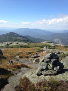
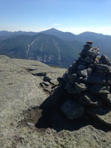
From here, I followed the rock cairns over a wandering path to the summit.
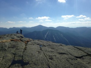
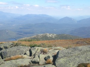
Algonquin’s summit is stunning, with views in every direction, including over the two Boundary Peaks toward Iroquois, where I was headed next.
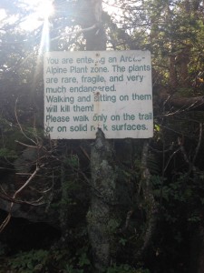
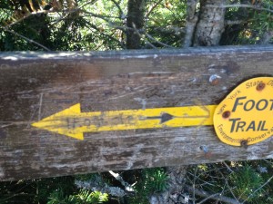
The trail to Iroquois follows the rock cairns and yellow hash marks down Algonquin to keep hikers off the fragile alpine plants. It’s pretty special to be able to hike in a place like this.
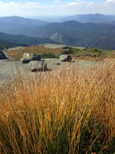
It’s just under half a mile down Algonquin to the place where the trail splits, and it’s easy to get confused here.
The marked trail goes left and descends toward Lake Colden. But if you’re climbing Iroquois, you actually need to go straight here, down a very narrow, snarly, easy-to-miss path through the trees. Someone tried to make that clear with a Sharpie, but it’s scratched out and easy to miss if you’re not paying attention.
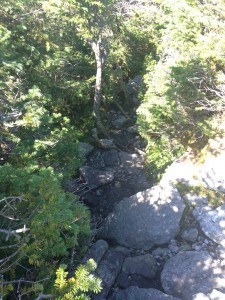
The Iroquois herd path is narrow – less than a foot wide in places, so if you pass another hiker, you’ll need to make friends quickly.
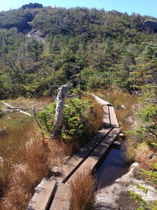
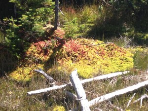
The herd path crosses a pretty little alpine bog over a mini-boardwalk. I’m always thankful for the work that’s been done on these trails to let me pass through places like this without having a negative impact.
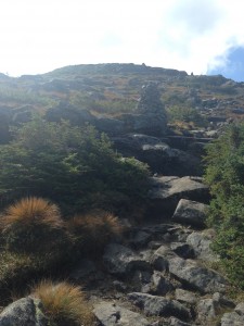
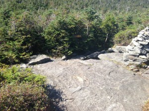
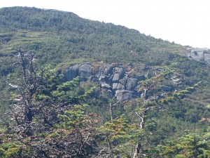
The route to Iroquois had a couple of rock scrambles that I found challenging. (Twice, I spent a few minutes trying to figure where the trail went around the cliff before I realized that the cliff was the trail.) The photo below shows one of those spots, from a distance. Once you get right up to the rocks and start climbing, though, you can see that there are, in fact, plenty of good places to put your hands and feet along the way.
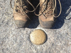
Iroquois’s summit is just as pretty as Algonquin’s but with fewer people to take photos, so I snapped a summit selfie with the rock cairn that marks the highest point. This is Adirondack High Peak #8 for me!
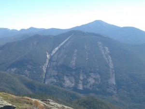
I had the mountain to myself for about twenty minutes while I had lunch and explored a bit. Again, there are views in every direction, including a great look at Mount Colden with its dramatic slides and New York’s tallest peak, Mount Marcy, over its shoulder.
There’s also a nice view looking back at Algonquin, which reminded me that I’d have to climb it again to return to my car.
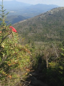
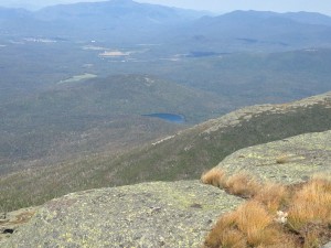
The hike back took about 50 minutes, and after a short trail mix break, I started climbing down Algonquin. The hike down took longer than I might have, because I couldn’t stop taking pictures. Here’s a look at Avalanche Lake and the Flowed Lands from Algonquin.
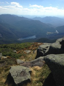
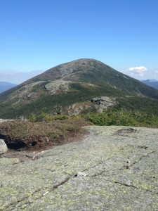
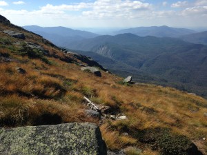
This photo shows rocky Wright Peak, which I climbed a few weeks ago. It felt so much taller then!
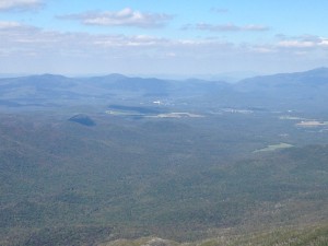
Here’s a look at Heart Lake, and behind it is Mount Jo, which also felt really tall when I climbed it for the first time. I couldn’t believe how tiny it looked from Algonquin.
It was tough to say goodbye to these views and go back into the trees, but the promise of cold water at the falls made it easier. I hiked down, took a quick break to filter water, and made it back to the Adirondack Loj at 4:25 – just about 7 hours and 45 minutes after I started out. The trip up Algonquin & Iroquois ended up being about 11 miles RT – not my longest Adirondack hike to date but the toughest and the prettiest, for sure.



Nice pics.Great info also,Thanks for sharing.
Thanks for posting this. I had done these a long time ago and thought they wer so hard! I have hiked quite a few since then and wanted to go back up and do Iroqouis because we didn\’t have time the first time. It still sounds a little difficult but not as hard as what my memory told me . 🙂